| State | qld |
|---|---|
| Coordinates | 26.6975°S 152.8119°E |
| Zoom | 11 |
| Pop | 1296 |
| Postcode | 4552 |
| Area | 35.3 |
| Time zone | AEST |
| Utc | +10:00 |
| Dist 1 | 8.7 |
| Dir 1 | NW |
| Location 1 | Maleny |
| Dist 2 | 40.1 |
| Dir 2 | SW |
| Location 2 | Nambour |
| Dist 3 | 42.2 |
| Dir 3 | WNW |
| Location 3 | Caloundra |
| Dist 4 | 105 |
| Dir 4 | N |
| Location 4 | Brisbane |
| Lga | Sunshine Coast Region |
| Stategov | Glass House |
| Fedgov | Fisher |
| Near-n | Obi Obi |
| Near-ne | Montville |
| Near-e | North Maleny |
| Near-se | Maleny |
| Near-s | Reesville |
| Near-sw | Elaman Creek |
| Near-w | Curramore |
| Near-nw | Obi Obi |
Witta is a rural town and locality in the Sunshine Coast Region, Queensland, Australia.[1][2] In the , the locality of Witta had a population of 1,296 people.[3]
Geography
Witta is located within the Blackall Ranges. The lower land is mostly cleared for residential and farming purposes. The higher land is largely undeveloped natural bushland.[4]
History
Witta was first settled around 1887 by German immigrant families. They called it Teutoberg (also spelled Teutoburg), possibly referring to the Teutoburg Forest area in Germany.[5][6] The town was renamed in 1916 during World War 1 due to anti-German sentiment.[7] The name Witta is a corruption of the word wetya meaning dingo in the Kabi language.[1][2]
Maleny Provisional School opened on 1 October 1892 with the first enrolments on 3 October 1892. It was renamed Teutoberg Provisional School in 1893. It became Teutoberg State School in 1909, and Witta State School in 1926. The school closed on 23 August 1974.[8][9] It was at 316 Witta Road (26.7086°S 152.8268°E).[10][4][11]
Teutoburg Lutheran Church was built in 1893. In 1911, it was demolished to enable a new timber church to be erected. The Good Shepherd Lutheran Church was opened and dedicated on 22 January 1911.[12][13]
A reserve for a School of Arts (often known as Mechanics' institutes outside Queensland) was gazetted in 1907.[14] The School of Arts was opened on 7 October 1908 by Harry Frederick Walker, Member of the Queensland Legislative Assembly for Wide Bay.[15]
Demographics
In the , the locality of Witta had a population of 1,230 people.[16]
In the , the locality of Witta had a population of 1,201 people.[17]
In the , the locality of Witta had a population of 1,296 people.[3]
Education
There are no schools in Witta. The nearest government primary school is Maleny State School and the nearest government secondary school is Maleny State High School, both in neighbouring Maleny to the south-west.[4]
Amenities
The Old Witta School Community Centre (the former Witta State School building) is at 316 Witta Road (26.7086°S 152.8268°E). The building celebrated its centenary on 8 June 2025.[18]
Good Shepherd Lutheran Church is at 295 Witta Road (26.711208°S 152.8275°E).[12][19]
There is a small cemetery on Witta Road (26.7062°S 152.8268°E).[4]
Attractions
Obi Lookout is on Schultz Road (26.688°S 152.8047°E).[20]
Notable people
- Otto Nothling, born in Witta, represented Australia in cricket and rugby union
See also
References
- ^ Retrieved 1 December 2019.
- ^ Retrieved 1 December 2019.
- ^
- ^
- ^ "Witta". Queensland Places. Centre for the Government of Queensland, University of Queensland. Archived 24 September 2015 at the Wayback Machine. Retrieved 10 August 2015.
- ^ Archives, Queensland State (2016-05-23). "What’s in a name - Teutoberg or Teutoburg? NO … it’s Witta!". Stories from the Archives. Archived 24 March 2024 at the Wayback Machine. Retrieved 2023-04-05.
- ^ "TOWN OF TEUTOBERG.". The Telegraph. SECOND EDITION ed. 18 May 1916. p. 2. Retrieved 10 August 2015. – via National Library of Australia.
- ^ Retrieved 20 January 2020.
- ^
- ^ "Queensland Two Mile series sheet 2m76" (Map). Queensland Government. 1955. Archived 10 August 2023 at the Wayback Machine. Retrieved 10 August 2023.
- ^
- ^ Blake, Thom. "Good Shepherd Lutheran Church". Queensland Religious Places. Archived 25 July 2023 at the Wayback Machine. Retrieved 2023-06-23.
- ^ "History". Witta Lutherans. Archived 14 March 2024 at the Wayback Machine. Retrieved 2023-07-25.
- ^ "RURAL INTERESTS.". The Brisbane Courier. 1 March 1907. p. 7. Retrieved 10 August 2015. – via National Library of Australia.
- ^ "Maleny.". Chronicle and North Coast Advertiser. 17 October 1908. p. 3. Retrieved 10 August 2015. – via National Library of Australia.
- ^
- ^
- ^ "Centenary Event". Old Witta School Community Centre. Archived 6 June 2025 at the Wayback Machine. Retrieved 2025-06-06.
- ^ "Witta Lutherans". Witta Lutherans. Archived 26 October 2023 at the Wayback Machine. Retrieved 2023-07-25.
- ^ "Tourist points - Queensland". Queensland Open Data. Queensland Government. 18 November 2020. Archived 24 November 2020 at the Wayback Machine. Retrieved 24 November 2020.
Further reading
- "Maleny schools' centenary celebration : 100 years of education, 1913-2013", Maleny P&C, 2013 — includes Witta State School
External links
- "Witta". Queensland Places. Centre for the Government of Queensland, University of Queensland.
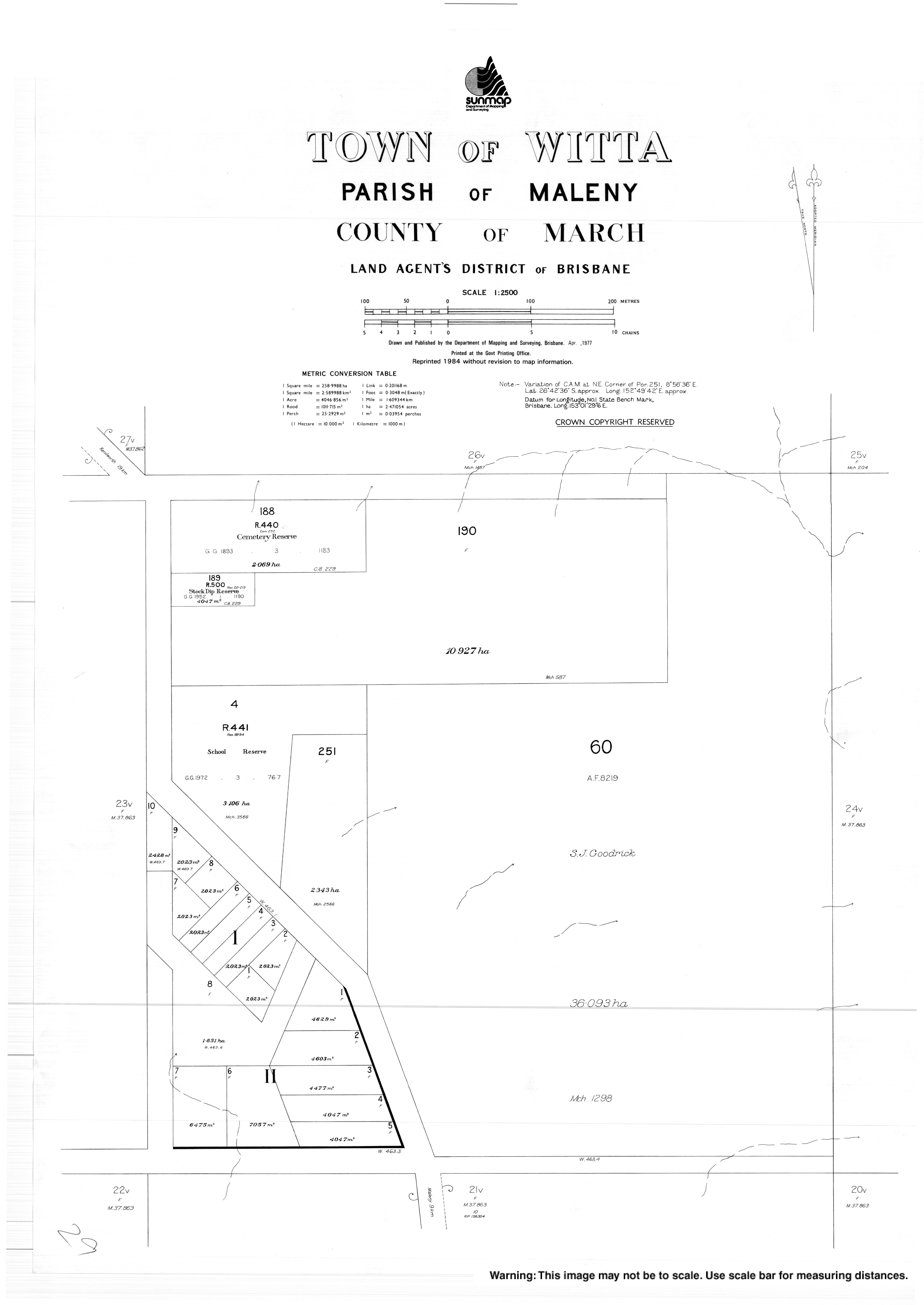
- "Town map of Witta". Queensland Government. 1977.