| Other name | Yellow Lake |
|---|---|
| Location | Batangas |
| Coordinates | 14°00′35″N 120°59′54″E |
| Inflow | Taal Lake |
| Outflow | Taal Lake |
| Catchment | Taal Lake |
| Basin countries | Philippines |
| Length | 1 km (0.62 mi) |
| Width | 1.9 km (1.2 mi)[1] |
| Area | 1.2 km2 (0.46 sq mi) |
| Depth | 100 m (330 ft)[2][3] |
| Max-depth | 172 m (564 ft)[2] |
| Volume | 24.256 e9m3 |
| Shore | 115 km (71 mi) |
| Elevation | 4 m (13 ft) |
| Islands | Vulcan Point (until 2020) · Unnamed island |
| Cities | San Nicolas · Talisay |
Taal Volcano Main Crater Lake (taʔal; or simply Main Crater Lake[3]), historically known as Yellow Lake,[4] is a lake inside the main crater of Taal Volcano. The origin of the lake is uncertain but is thought to have formed by rainwater. The lake briefly disappeared after the 2020 eruption of Taal Volcano.[5][6]
There is an island inside of Main Crater Lake, called Vulcan Point.
History
Disappearance
After the January 12, 2020, eruption of Taal Volcano, satellite images showed that the water in Main Crater Lake had disappeared.[7][8] Although the main cause of its disappearance is unknown, it is suggested that the water must have dried up due to the fissures that formed after the eruption.[7] The lava beneath the volcano may also have contributed to the evaporation of the lake.[5]
After Taal Volcano calmed down, a series of typhoons allowed rain to re-accumulate and reform Main Crater Lake. [citation needed]
Geography
Vulcan Point
| Location | Taal Volcano |
|---|---|
| Coordinates | 14°00′35″N 120°59′54″E |
| Waterbody | Main Crater Lake |
| Population | 0 (uninhabited) |
| Country | Philippines |
| Region | Calabarzon |
| Country admin divisions title 1 | Province |
| Country admin divisions 1 | Batangas |
| Country admin divisions title 2 | Municipalities |
| Country admin divisions 2 | San Nicolas |
Vulcan Point Island, or simply Vulcan Point, is a small rocky island inside of Main Crater Lake which was once covered with vegetation before the 2020 eruption, which it survived. It is one of only a few islands in a lake on an island in a lake on an island in the world.[9] It projects from the surface underneath Main Crater Lake, which was the remnant of the old crater floor that was filled in by the lake.
References
- ^ Gavilan, Jodesz (January 13, 2020). "FAST FACTS: What you should know about Taal Volcano". Rappler. Retrieved February 1, 2020.
- ^ "Lake Taal". International Lake Environment Committee. Archived March 6, 2012 at the Wayback Machine. Retrieved March 17, 2012.
- ^ "Taal Volcano". Philippine Institute of Volcanology and Seismology. Retrieved February 1, 2020.
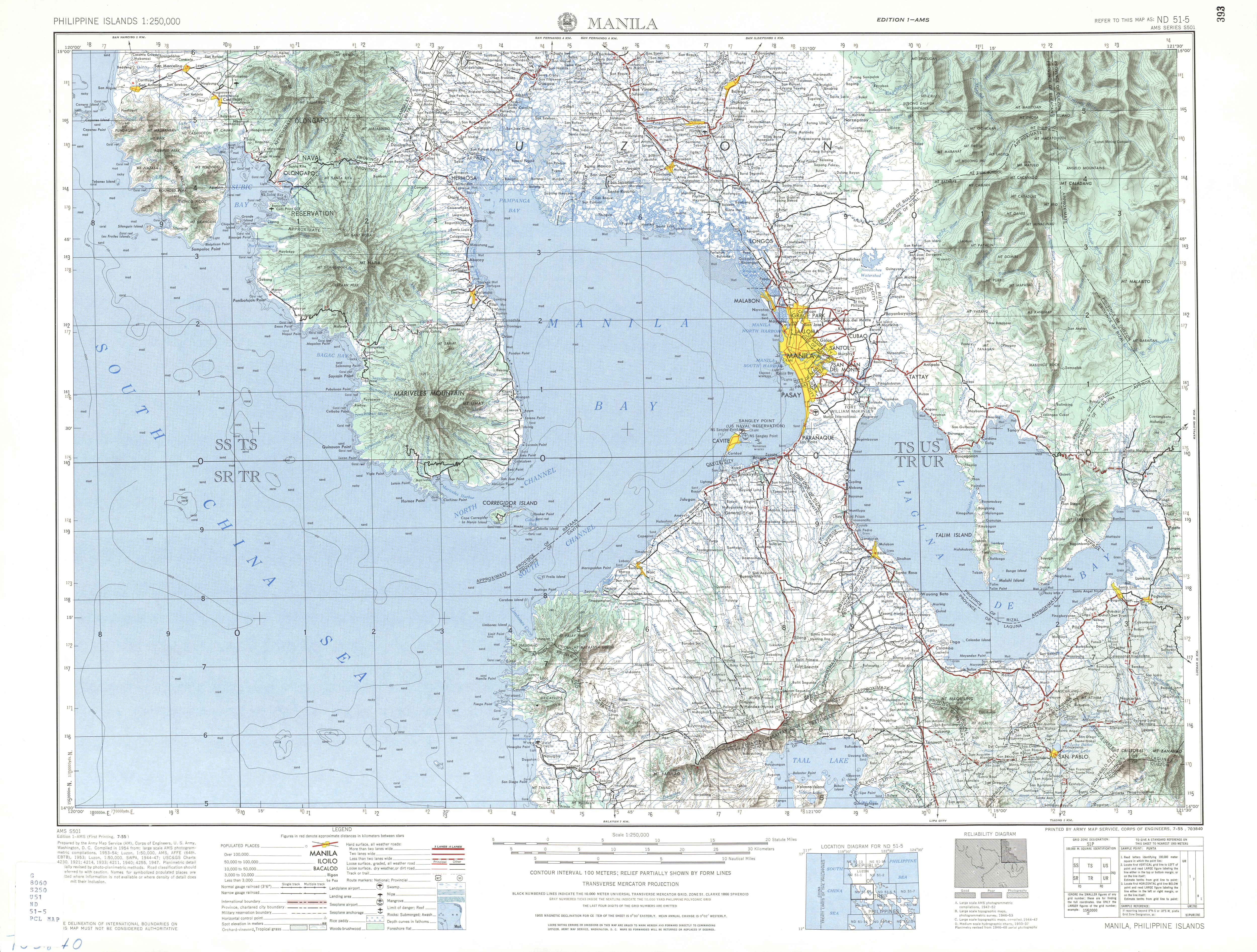
- ^ U.S. Army Corps of Engineer (1954). "Manila (Topographic map)"". University of Texas in Austin Library. Archived March 4, 2016 at the Wayback Machine. Retrieved August 3, 2014.
- ^ "Philippines Taal Volcano has lost its Main Crater Lake". The Washington Post. January 17, 2020. Archived November 26, 2022 at the Wayback Machine. Retrieved February 1, 2020.
- ^ "Image shows ash, lava visible at Taal Volcano's main crater". GMA News. January 23, 2020. Archived February 1, 2020 at the Wayback Machine. Retrieved February 1, 2020.
- ^ "Dramatic Changes at the Heart of Taal Volcano Spied by Satellites". Archived December 6, 2024 at the Wayback Machine. Retrieved February 2, 2020.
- ^ "Taal volcano's inner lake all but gone in eruption". BBC News. January 16, 2020. Archived April 5, 2023 at the Wayback Machine. Retrieved February 2, 2020.
- ^ "Some interesting islands and lakes". Elbruz. Archived September 19, 2013 at the Wayback Machine. Retrieved February 1, 2014.