| Other name | Ugalla |
|---|---|
| Coordinates | 05°47′07″S 031°09′54″E |
| Country | Tanzania |
| Region | Katavi |
| District | Mlele |
| Time zone | GMT (UTC+3) |
| UFI | -2574200 |
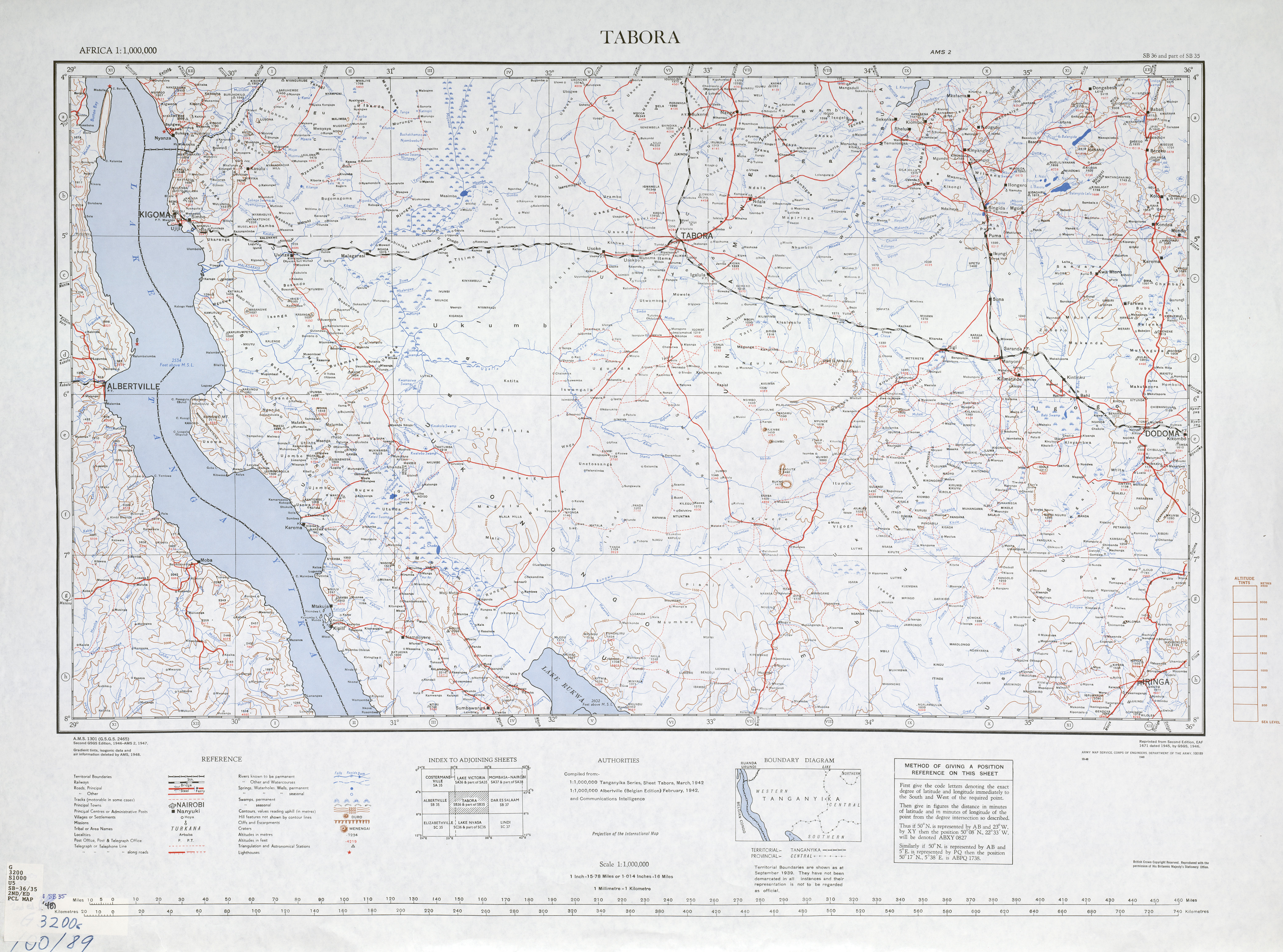
Ugalla[1] is a small town and ward in Mlele District of Katavi Region, Tanzania, East Africa. The town is on the left (west) bank of the Mtambo River[2] just before it flows into the Ugalla River, on the edge of the Lujaba Swamp.[3]
Villages
In addition to the town of Ugalla, the ward contains the following villages:[4]
- Iseka
- Kamini
- Kankusha
- Kasisi (A & B)
- Kasulo
- Katamike
- Lyogelo
- Mjimwema
- Mnyamasi (A & B)
- Mtambalala
- Sikwisi
- Uvuvini
- Vigaeni
- Mihawa
- Mihama saba
- Utemini