| Elevation | 812 m |
|---|---|
| Prominence | 812 m |
| Parent peak | none – HP Rùm |
| Listing | Marilyn, Corbett |
| Translation | Ash tree mountain |
| Language | Norse |
| Pronunciation | /ˈæskᵻvɑːl/ |
| Location | Rùm, Scotland |
| Range | The Cuillin of Rum |
| Coordinates | 56.97424°N 6.29168°W |
| Grid ref uk | NM393952 |
| Topo | OS Landranger 39 |
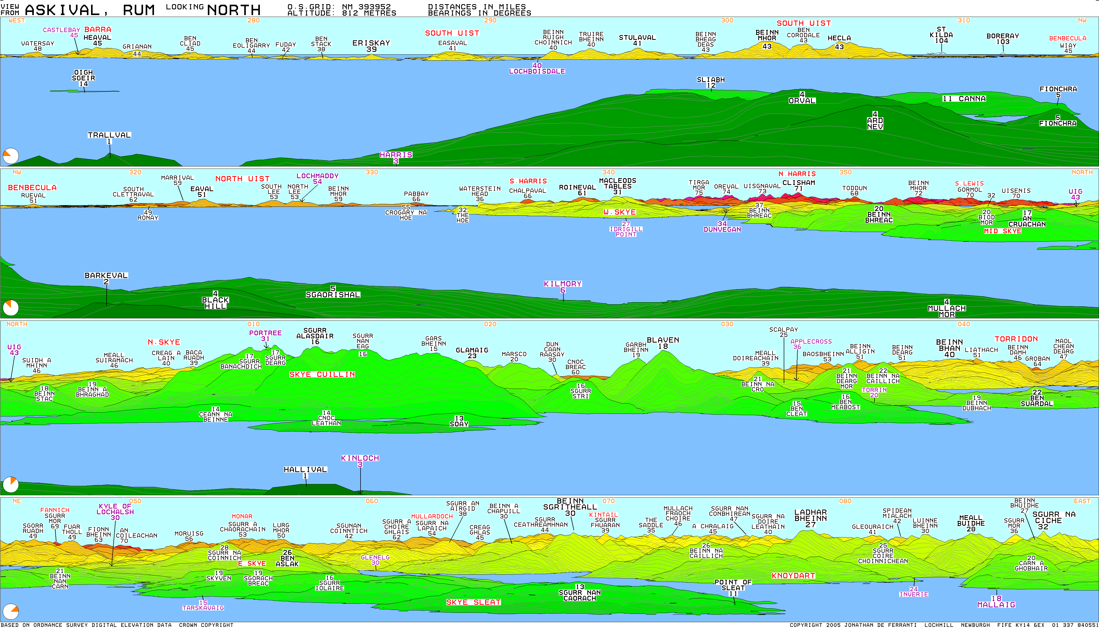
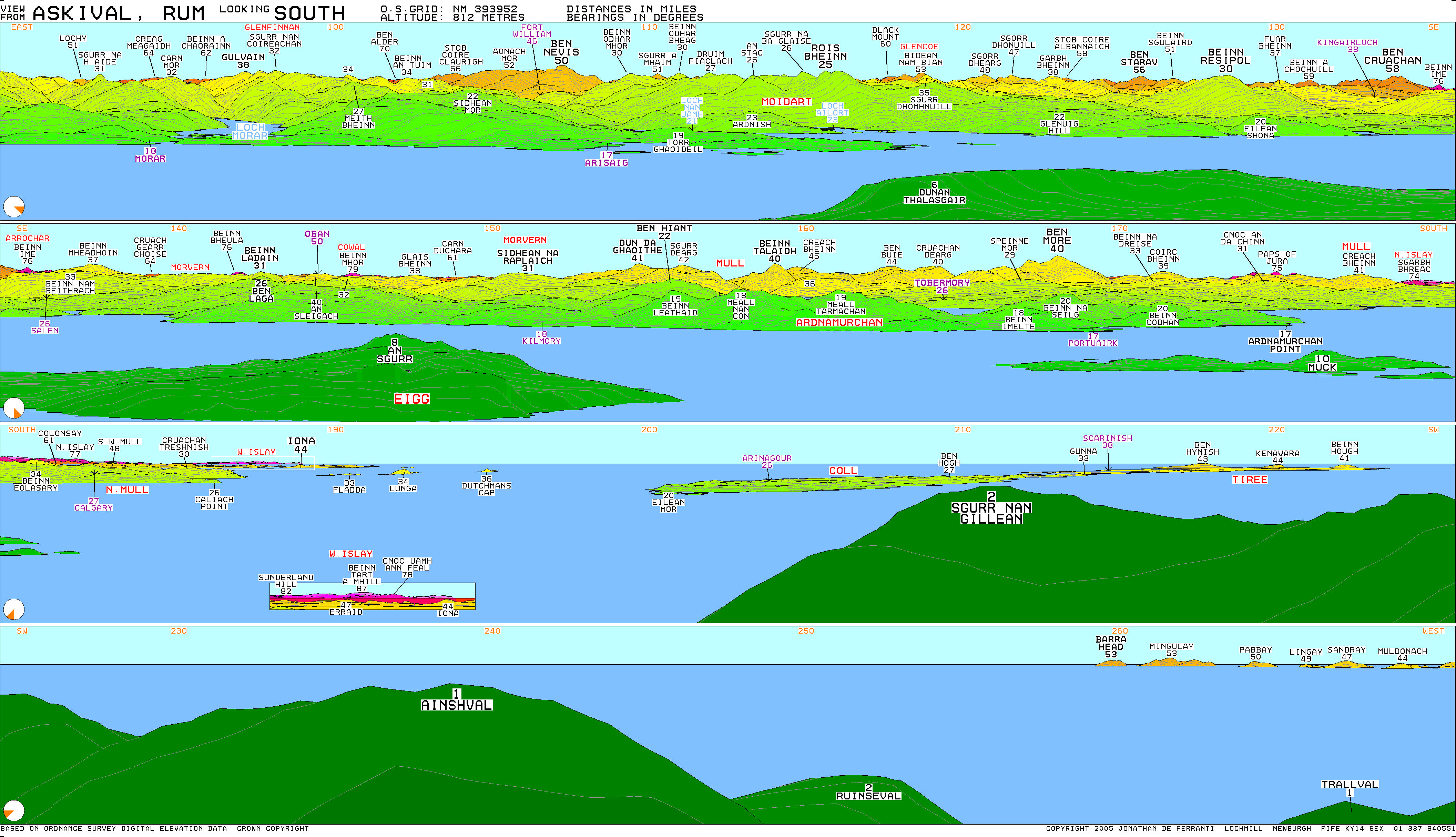
Askival is the highest mountain on the island of Rùm, in the Inner Hebrides of Scotland. It is located 5 kilometres (3 miles) south of Kinloch, the main village on the island. It is part of the Rùm Cuillin, a rocky range of hills in the southern end of Rùm.[1] It is often climbed as part of a full traverse of the ridge.
References
- ^ Emeleus, C. H. (Charles Henry) (2008). A geological excursion guide to Rum : the Palaeocene igneous rocks of the Isle of Rum, Inner Hebrides. Edinburgh [Scotland]: Edinburgh Geological Society. ISBN 978-1-905267-22-4. OCLC 437092879